
Formidable Hurricane Polo swirls off Mexico’s West coast
This photo provided by NOAA shows Hurricane Polo intensifying in the Pacific Ocean off the coast of Mexico on Monday, Sept. 21, 2026. NOAA via Associated Press
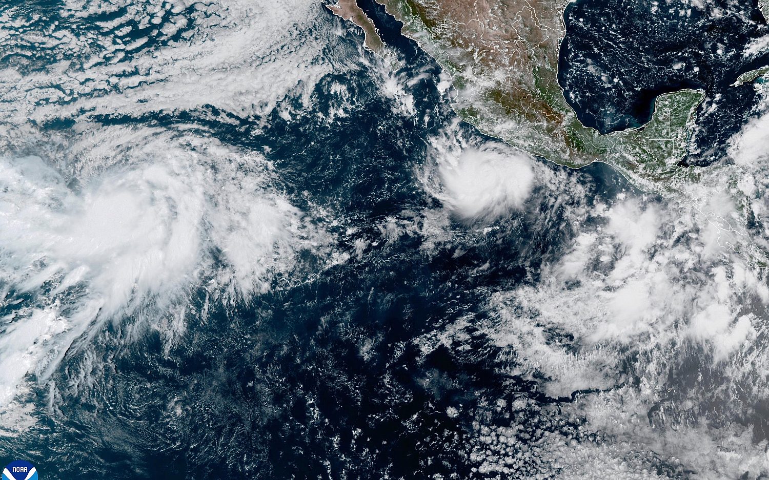
A Category 4 hurricane sat around 200 miles offshore of southern Mexico on Wednesday morning. Hurricane Polo was expected to skirt Mexico’s southwestern coast but was not likely to make landfall, according the National Hurricane Center. The hurricane slowly crept northward in a path roughly parallel to Mexico’s coast. On Tuesday, Polo had maximum sustained winds as high as 180 mph. But its strength fell to 155 mph, just below the threshold for a Category 5, the strongest on the hurricane scale. An environmental sciences professor at the University at Albany told the Associated Press that Polo was one of the strongest storms ever in the Pacific Basin.
What have authorities in Mexico said? Polo’s rainfall could cause life-threatening flooding and landslides, Mexico’s government said in a statement. The U.S. Embassy in Mexico issued a weather alert Tuesday, urging citizens to avoid entering the ocean or walking on beaches. Polo will cause hazardous ocean conditions, the embassy said.
Meanwhile, Hurricane Odalys strengthened on Wednesday from a tropical storm to a hurricane. Located well off the southern tip of Baja California, it was also deemed unlikely to make landfall.


An actual newsletter worth subscribing to instead of just a collection of links. —Adam
Sign up to receive The Sift email newsletter each weekday morning for the latest headlines from WORLD’s breaking news team.



Please wait while we load the latest comments...
Comments
Please register, subscribe, or log in to comment on this article.